Haldwani to Nainital Road Trip Guide: Elevation, Curves & Coffee Stops
Everything you need to know about ascending 1,660 vertical meters from the Bhabhar plains into the Lake District.
1. Route Overview & Elevation Profile
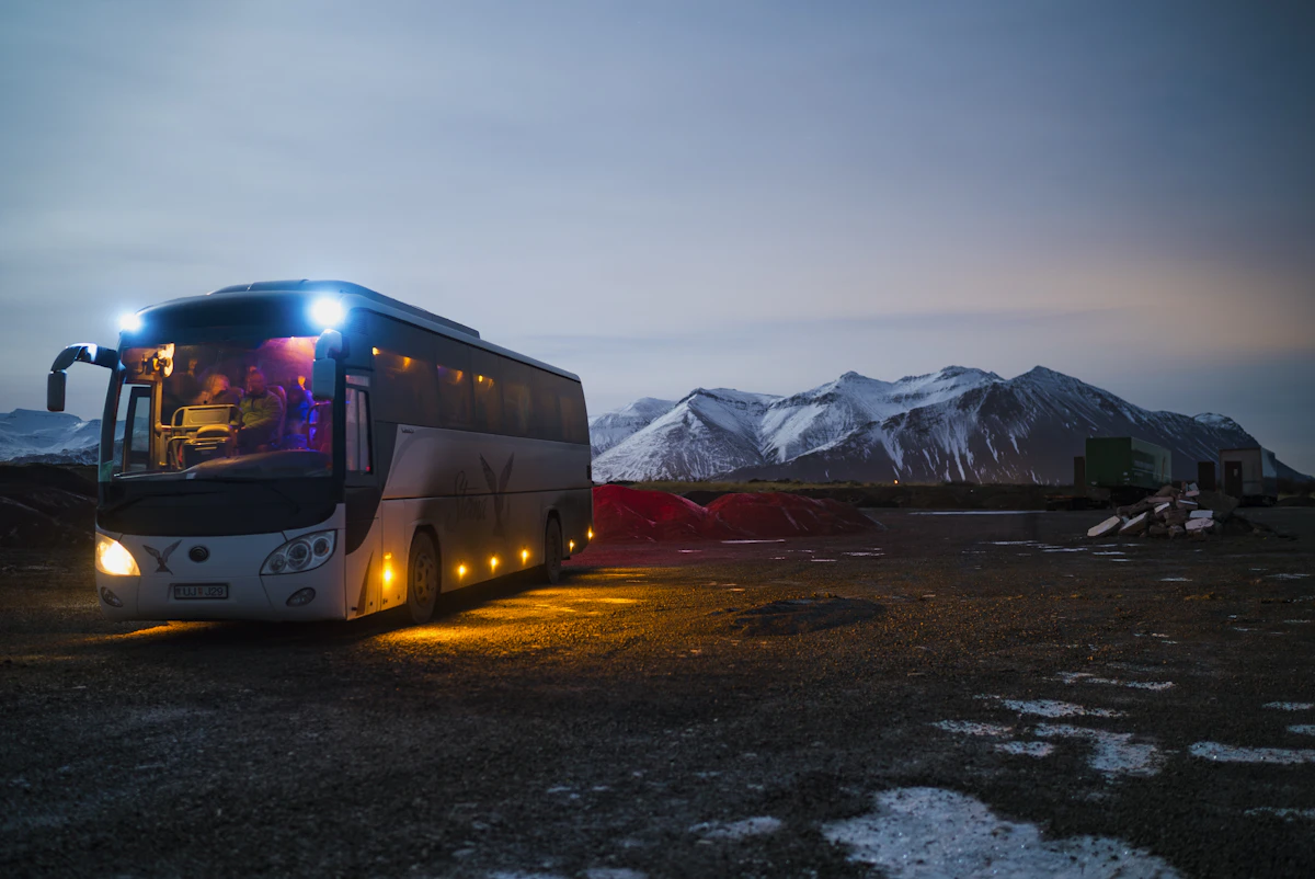
The drive from Haldwani (424m) to Nainital (2,084m) spans approximately 40 kilometers along National Highway 109. What makes this journey remarkable is the sudden transition: within 15 km of leaving Kathgodam, the humid foothill air drops by 8 to 12 degrees Celsius as you enter the pine zone.
- Total Distance: 40 km
- Average Driving Duration: 1 hr 20 mins on a motorcycle
- Total Vertical Ascent: +1,660 meters
2. Key Waypoints & Scenic Stops
Ranibagh Suspension Bridge: The historic landmark where the plains end and the Shivalik rock cuttings begin.
Jeolikote Bee Farms: Halfway up the ghat, stop for hot lemon-ginger-honey tea and fresh mountain pakoras.
Tallital Toll Barrier: The gateway into Nainital Lake promenade with immediate parking access.
3. Ideal Vehicle Choice for the Climb
For solo riders and couples, a Classic 350 or Himalayan provides effortless low-end torque for powering up steep hairpins without downshifting frequently. If you prefer twist-and-go ease, the Access 125 or Ntorq 125 handles two riders with ease.
4. Mountain Ghat Safety Protocols
Always yield right-of-way to heavy vehicles ascending uphill. Use engine braking in 2nd or 3rd gear rather than riding your brakes on the downhill return.
Rajat Pant
Specialist in Kumaoni cultural geography and regional transit planning.

Best Places to Ride Near Nainital (Pangot, Kilbury & Beyond)
While most visitors stay confined to the lake promenade, the true magic of Nainital lies in the secluded mountain roads winding through Pangot, Kilbury Bird Sanctuary, and the quiet pine forests of Tiffin Top.
Best Bikes for Uttarakhand Hills: Classic 350 vs Himalayan vs KTM Adventure
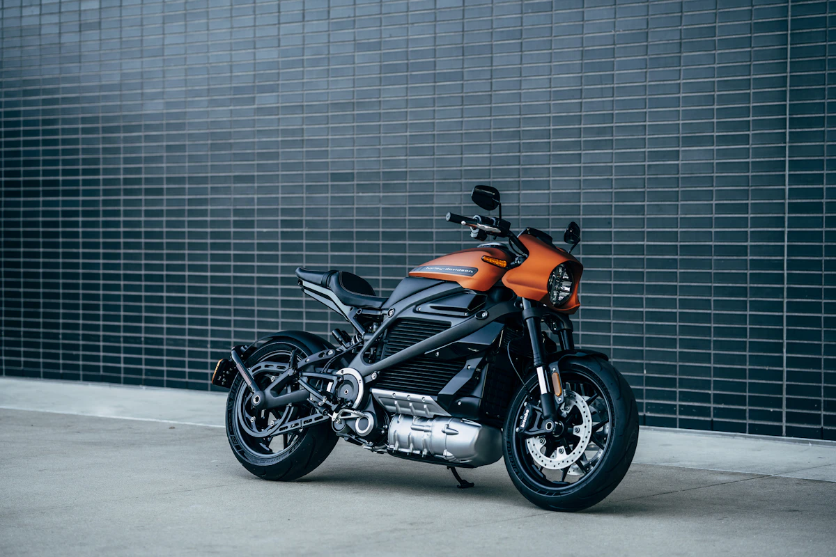
Choosing the right motorcycle for Uttarakhand depends on your route. Here is an honest comparison between the relaxed thump of the Classic 350, the go-anywhere capability of the Himalayan, and the nimble cornering of the KTM Adventure.
Things to Know Before Renting a Bike in Uttarakhand: Documents, Deposits & Hill Protocols
From driving license rules and security deposit policies to mountain riding advice, here are the essential facts every traveler should know before renting in Kumaon.
Featured Expedition Routes in this Region
Explore high-pass trajectories and verified travel itineraries matching this dispatch.
Haldwani → Nainital
Starting from the warm foothill plains of Haldwani, the road climbs through Ranibagh and the deodar-scented curves of Jeolikote. Within 40 minutes, the foothill air yields to cool alpine mist as you emerge onto the shores of emerald Naini Lake.
Haldwani → Bhimtal
A relaxed, wide-open valley cruise that follows the Gaula river basin, bypassing tourist choke points. The ascent is gentle and rhythmic, opening into the wide Bhimtal lake valley with direct access to the secluded forest lakes of Sattal and Naukuchiatal.
Nainital → Mukteshwar
Regarded by riders as one of Kumaon’s most scenic ridgeways. Carving through the fruit bowl of Ramgarh, this route runs along a high crest where towering deodars frame sudden vistas of Nanda Devi, Trishul, and the snow massifs.